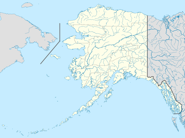
Bestand:USA Alaska location map.svg

Afmetingen van deze voorvertoning van het type PNG van dit SVG-bestand: 800 × 598 pixels Andere resoluties: 320 × 239 pixels | 640 × 478 pixels | 1.024 × 765 pixels | 1.280 × 956 pixels | 2.560 × 1.912 pixels | 1.553 × 1.160 pixels.
Afbeelding in hogere resolutie (SVG-bestand, nominaal 1.553 × 1.160 pixels, bestandsgrootte: 1,24 MB)
| Dit is een bestand van Wikimedia Commons, een verzameling van vrije inhoud die door de Wikimedia Foundation wordt gehost. Onderstaande beschrijving komt van de beschrijving van het bestand daar. |
Beschrijving
| Beschrijving | |
| Datum | |
| Bron | Eigen werk |
| Auteur | Alexrk2 |
| Andere versies |
Afgeleide werken van dit bestand: Starbucks footprint.png
|


| Open this image as an overlay in Google Earth (Google Maps, Bing) | (Help|Source) |
Licentie
Ik, de auteursrechthebbende van dit werk, maak het hierbij onder de volgende licenties beschikbaar:

|
Toestemming wordt verleend voor het kopiëren, verspreiden en/of wijzigen van dit document onder de voorwaarden van de GNU-licentie voor vrije documentatie, versie 1.2 of enige latere versie als gepubliceerd door de Free Software Foundation; zonder Invariant Sections, zonder Front-Cover Texts, en zonder Back-Cover Texts. Een kopie van de licentie is opgenomen in de sectie GNU-licentie voor vrije documentatie. |
Dit bestand is gelicenseerd onder de Creative Commons-licentie Naamsvermelding 3.0 Unported
- De gebruiker mag:
- Delen – het werk kopiëren, verspreiden en doorgeven
- Remixen – afgeleide werken maken
- Onder de volgende voorwaarden:
- naamsvermelding – U moet op een gepaste manier aan naamsvermelding doen, een link naar de licentie geven, en aangeven of er wijzigingen in het werk zijn aangebracht. U mag dit op elke redelijke manier doen, maar niet zodanig dat de indruk wordt gewekt dat de licentiegever instemt met uw werk of uw gebruik van zijn werk.
U mag zelf één van de licenties kiezen.
| Aantekeningen | Deze afbeelding is aangetekend: Bekijk de aantekeningen op Commons |
Bestandsgeschiedenis
Klik op een datum/tijd om het bestand te zien zoals het destijds was.
| Datum/tijd | Miniatuur | Afmetingen | Gebruiker | Opmerking | |
|---|---|---|---|---|---|
| huidige versie | 3 okt 2009 21:13 | | 1.553 × 1.160 (1,24 MB) | Alexrk2 | Linien gesäubert |
| 3 okt 2009 21:03 |  | 1.553 × 1.160 (1,25 MB) | Alexrk2 | Westlicher Teil korrigiert | |
| 3 okt 2009 20:35 |  | 1.553 × 1.160 (1,24 MB) | Alexrk2 | == Beschreibung == {{Information |Description= {{de|Positionskarte von Alaska, USA}} Quadratische Plattkarte, N-S-Streckung 210.0 %. Geographische Begrenzung der Karte: * N: 72.0° N * S: 51.0° N * W: 188.0° W * O: 129.0° W { |
Bestandsgebruik
Geen enkele pagina gebruikt dit bestand.
Globaal bestandsgebruik
De volgende andere wiki's gebruiken dit bestand:
- Gebruikt op af.wikipedia.org
- Gebruikt op als.wikipedia.org
- Gebruikt op an.wikipedia.org
- Gebruikt op ar.wikipedia.org
- Gebruikt op ast.wikipedia.org
- Alaska
- Baranof
- Juneau (Alaska)
- Anchorage (Alaska)
- Fairbanks (Alaska)
- Ninilchik (Alaska)
- Islles Aleutianes
- Kodiak (Alaska)
- Golfu d'Alaska
- Monte Denali
- Parque y Reserva Nacionales de les Puertes del Árticu
- Cordal d'Alaska
- Módulu:Mapa de llocalización/datos/Alaska
- Módulu:Mapa de llocalización/datos/Alaska/usu
- Aeropuertu Internacional Ted Stevens Anchorage
- Base de la Fuercia Aérea Eielson
- Islla Semisopochnoi
- St. George (Alaska)
- Islles Pribilof
- St. Paul (Alaska)
- Islla Sitkinak
- Islla Tugidak
- Gebruikt op azb.wikipedia.org
Globaal gebruik van dit bestand bekijken.